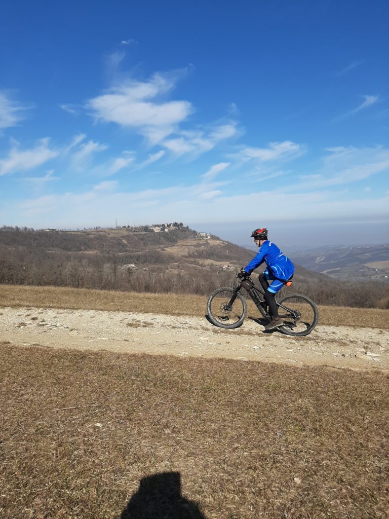
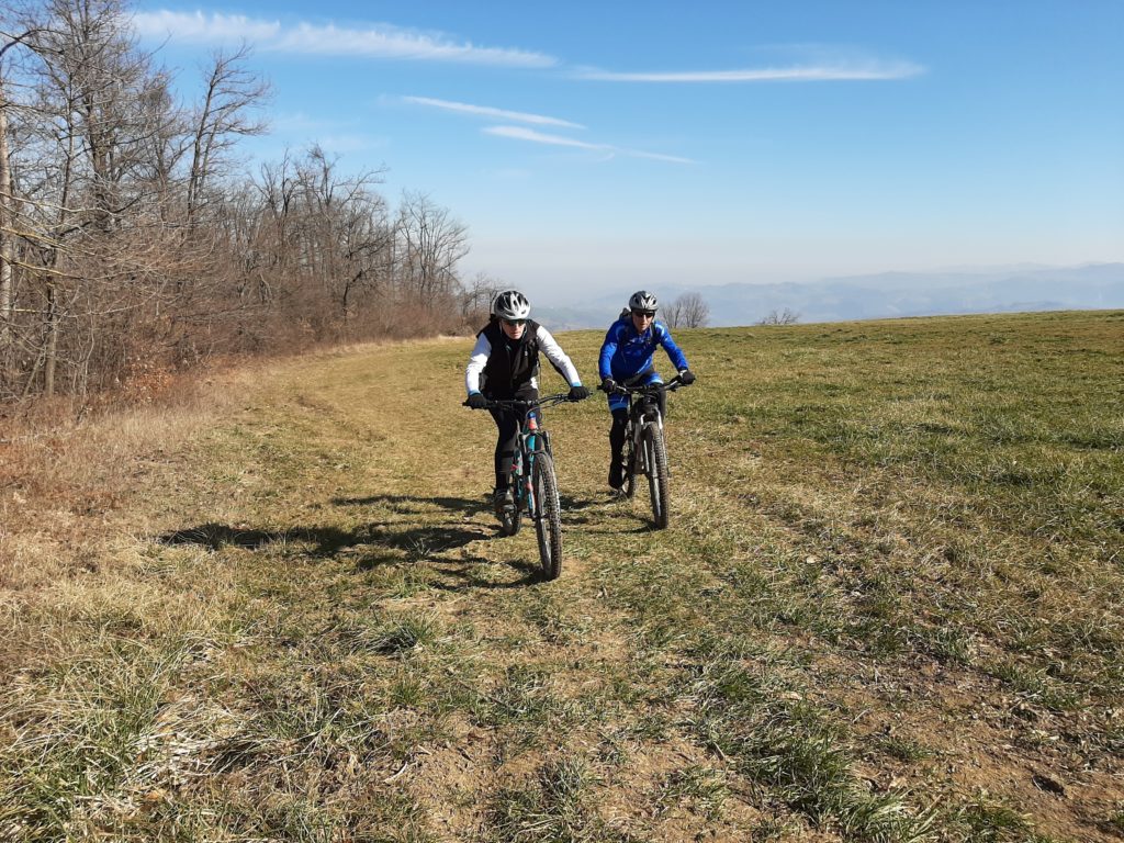
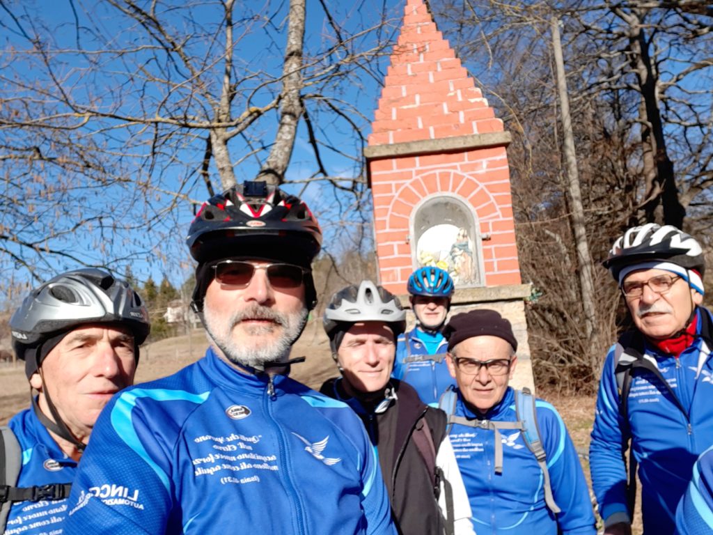
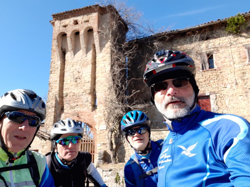
(Pigneto -Casalcicogno -San Pellegrinetto – Faeto -Serramazzoni – Monfestino – Serola – Case Alfieri – M. Ravaglia – Serramazzoni – Via Vandelli – Varana – Allevara – Pedrocchio )
Map of the route “2 – DA CASTELLARANO A SERRAMAZZONI ed AL CASTELLO DI MONFESTINO”: 46.651 m, 1.261 m of climbing and 1.257 m of descent, elevation between 155 m and 871 m, time 06:45:18. It is a loop that starts and ends at 44.50540, 10.72757 (latitude, longitude).
Total distance: 46736 m
Max elevation: 872 m
Min elevation: 155 m
Download file: sella%20ronda%20pigneto%20serola.gpx
Max elevation: 872 m
Min elevation: 155 m